The Theodore Roosevelt Conservation Partnership cheers House introduction of the Modernizing Access to Our Public Oceans Act by Representatives Russell Fry (R-S.C.) and Mike Levin (D-Calif.).
The MAPOceans Act will direct the standardization, consolidation and digitization of boating and recreational fishing information for federally managed marine waters and federal fisheries administered by the National Oceanic and Atmospheric Administration. The MAPOceans Act was introduced in the Senate earlier this year by Senators Ted Cruz (R-Texas) and Angus King (I-Maine).
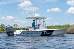
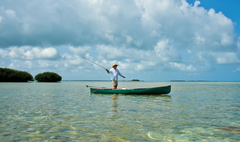
The bill will enhance and expand recreation opportunities by investing in modern technology commonly found in smartphone applications to provide anglers, boaters and other users with the information they need to safely and legally enjoy offshore waters and federal saltwater fisheries.
“America’s incredible saltwater recreation opportunities should be easily enjoyed by all,” said Joel Pedersen, president and CEO of the Theodore Roosevelt Conservation Partnership. “The MAPOceans Act will help simplify boating and fishing experiences by digitizing complex and shifting regulations, making recreation information available to the public in real time. TRCP thanks Representatives Fry and Levin for their leadership to introduce and advance this important recreation legislation.”
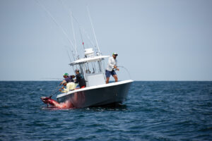
The MAPOceans Act builds on the success of the MAPLand Act, passed in 2022, and the MAPWaters Act, which passed out of the House of Representatives in January, by directing NOAA to digitize navigation and recreational use rules for marine waters and federal fisheries, and to make those resources readily available to the public. The hundreds of thousands of offshore ocean miles and numerous saltwater fish species regulated by NOAA present enormous recreational opportunities where restrictions are difficult to access and constantly changing. MAPOceans directs the federal agency to compile those rules in digital form so they can be integrated into GPS units and smartphone applications that are popular with boaters and anglers, making that information available to the public in real time.

The newly digitized public information would include:
• Status information on which waterways are open or closed to entry or watercraft, low-elevation aircraft or diving.
• The areas of waterways with restrictions on motorized propulsion, horsepower or gasoline fuel.
• Types of recreational vessels that are restricted on each area of a waterway.
• The location and geographic boundaries of fishing restrictions on recreational fishing, including full or partial closures, no-take zones and fishing restrictions within or surrounding marine protected areas.
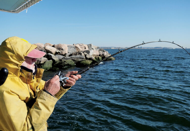
• Fishing regulations concerning specific types of equipment or bait, such as restrictions on the use of circle hooks, descending devices and trolling.
“The MAPOceans Act will provide many benefits for the millions of saltwater anglers who fish our nation’s marine waters every year,” said Glenn Hughes, president and CEO of the American Sportfishing Association. “This legislation will ease access to information on federal fishing regulations through navigation tools and mapping applications, helping anglers and boaters stay up-to-date with changing regulations and opportunities. ASA and the recreational fishing industry thank Representatives Fry and Levin for their leadership of this legislation, which will simplify access to a wide range of recreational information, allowing anglers to feel confident they’re in compliance with the law as they’re heading out on the water.”
To help educate hunters and anglers on this suite of important, bipartisan, access legislation, the TRCP launched the MAPping Public Access webpage, which breaks down the history, status and relevance of the MAPLand, MAPWaters and MAPOceans acts.