SpotOn Fishing announced the latest evolution of its fishing platform: the SpotOn Fishing mobile app. Designed to help anglers plan smarter, fish more efficiently and explore with confidence, the app delivers fast performance, clear maps and powerful fishing tools.
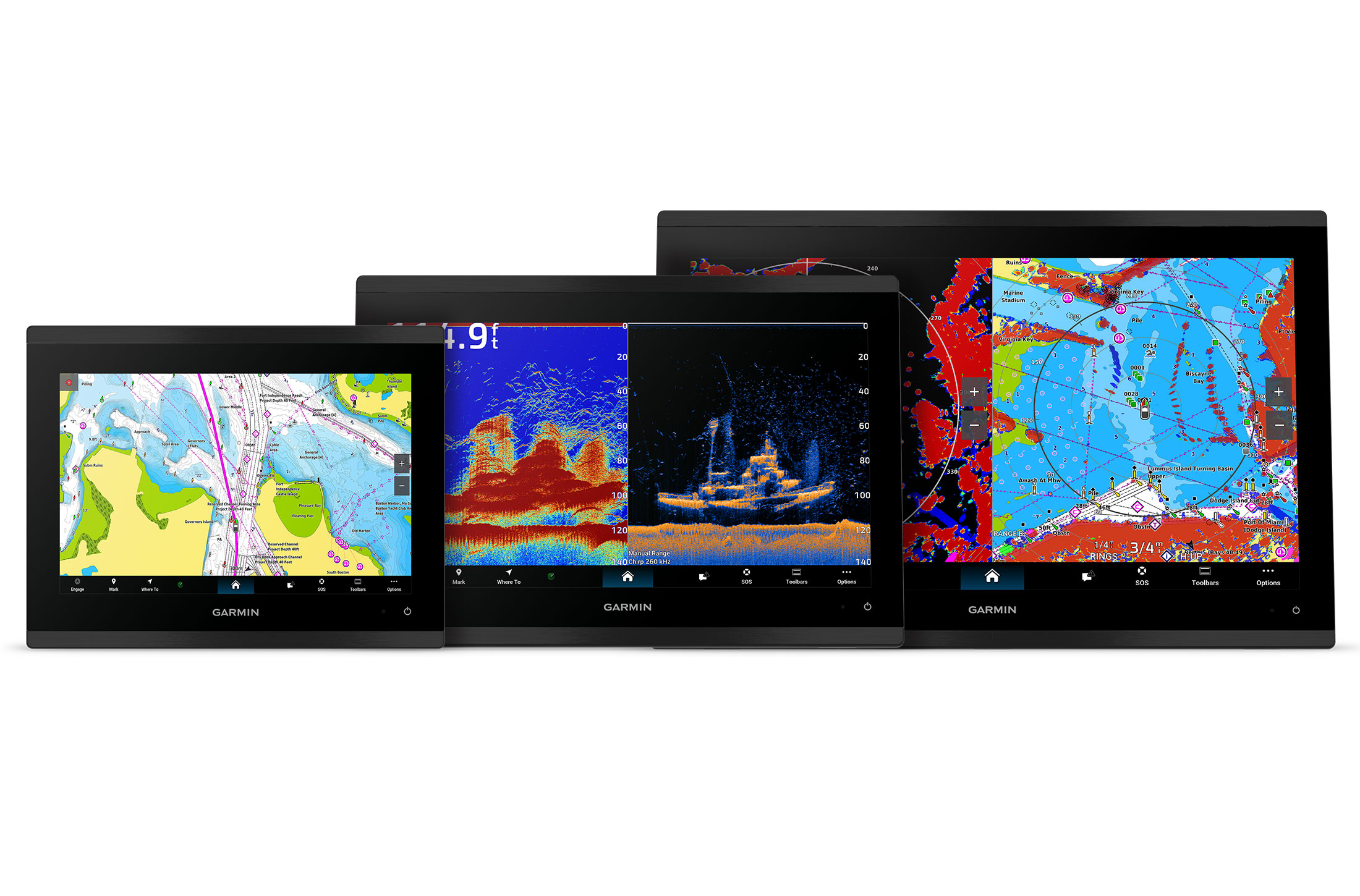
SpotOn Fishing also introduced two hardware options: the Hydros7 Outdoorsman tablet and Andros 8 black-box marine computer, designed to give anglers a seamless, professional-level experience on the water.
At the core of the SpotOn Fishing ecosystem is the mobile app, the ultimate control center for anglers. Available for both Android and iOS, the app delivers instant, lag-free map navigation and high-resolution aerial imagery with 3D shaded relief structure imagery featuring centimeter-accurate data. Navigation is user-friendly, with real-time insights and live weather overlays.
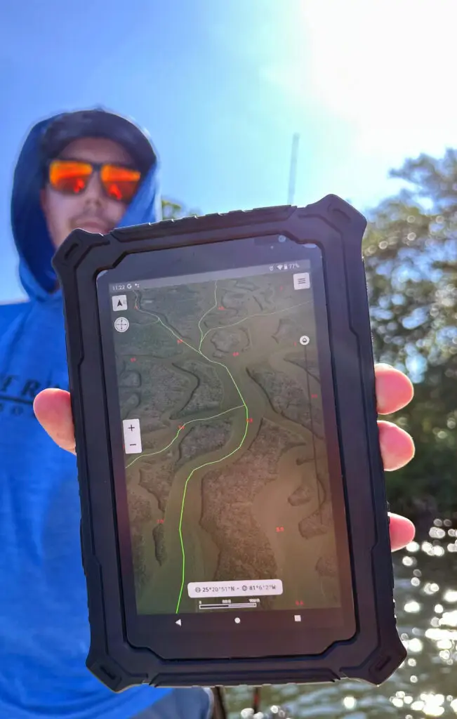
The mobile app offers fishing tracks designed by the SpotOn team, professional anglers and the SpotOn Fishing user community. Its library of custom fishing maps and overlays is constantly growing, with updates sent directly to mobile devices.
Whether running on a smartphone, tablet or marine computer, SpotOn Fishing delivers the same performance across all devices, with the Hydros7 Outdoorsman tablet and Andros 8 marine computer providing rugged, dedicated hardware options. Whether online or offline, the platform puts professional-level mapping and insights in the hands of the user.
“We’re not just building another fishing app; we’re redefining how anglers and boaters experience the water,” said Nick Gaffney, founder of SpotOn Fishing. “Every update raises the bar, delivering faster performance, sharper imagery and smarter tools that keep our users ahead of the game. We’re committed to continuous innovation. Whether you’re chasing redfish in skinny water, going deep for daytime swordfish, fishing year-round for bass, or simply looking for better imagery and routes for cruising, SpotOn Fishing will always be the most powerful tool at your helm.”
For inshore use, aerial maps are processed for clarity even in direct sunlight, and allow users to view areas at different tide intervals to navigate shallow waters, choose better routes and spot vegetation changes. Comparing imagery from multiple sources and times helps uncover subtle shifts that can lead to greater inshore opportunities.
For offshore users, SpotOn Fishing’s structure maps reveal wrecks, reefs, drop-offs and bottom contours not easily visible on other platforms. Anglers can choose between Regional Pro Structure Maps, which feature exclusive color palettes that showcase structure, and the Basic High-Resolution Structure option, which taps into NOAA’s latest additions for areas not yet covered by regional Pro Structure Maps.
Offshore anglers can pair these structure maps with the Fishing Spots overlay, which includes everything from public wreck and reef locations to proven waypoints for targeting bucket-list fish. They can also use the Sea Surface Temperature overlay, updated every four hours, to locate temperature breaks that often hold fish, combining these environmental cues with structure detail to identify the most productive zones.
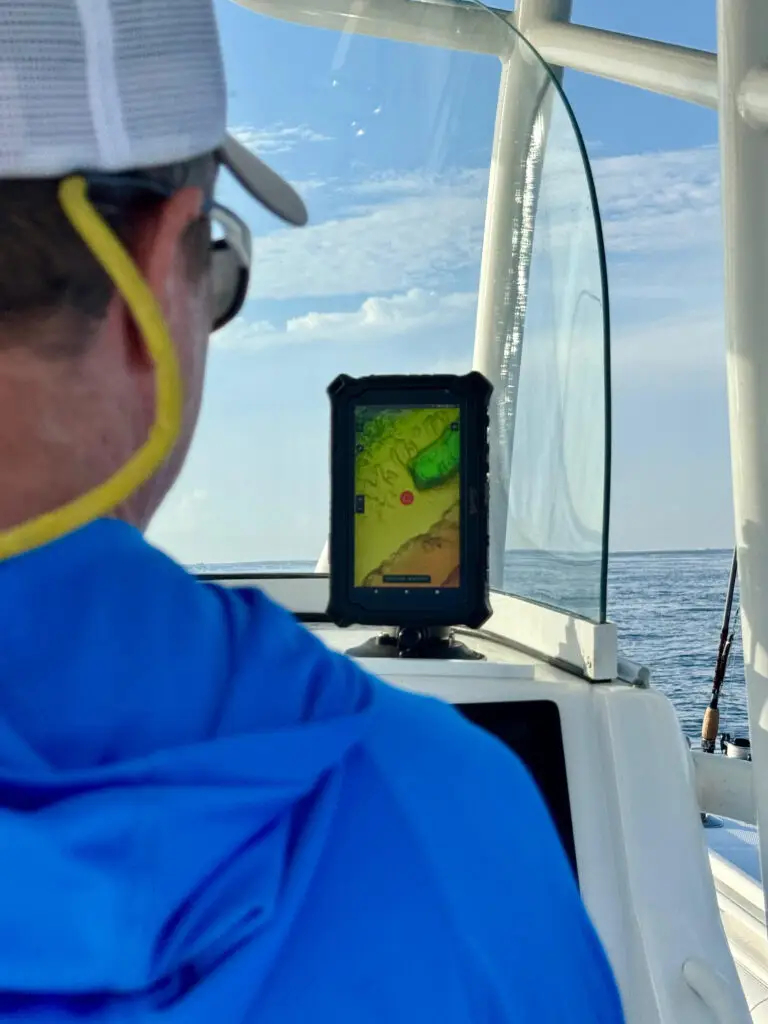
For lake anglers, Pro Lake Structure Maps offer an exclusive visual revealing underwater humps, ledges, troughs and contour breaks. Currently available for select popular lakes, with a growing catalog of expanding coverage, the maps are ideal for reading underwater terrain. When paired with SpotOn Fishing’s aerial map options, users can see vegetation patterns from different time periods on the surface and surrounding areas, then combine that knowledge with the high-resolution 3D structure view of the lake bottom to pinpoint opportunities.
Cruisers can also take advantage of SpotOn Fishing’s Pro Aerial Maps, a resource for planning and navigating routes. Paired with high-resolution 3D structure maps, cruisers can identify underwater features and potential hazards, making route-planning more precise. These high-resolution aerial maps can also be saved for offline use, ensuring reliable navigation in areas without data coverage, and the Navigation Aids overlay provides an extra layer of awareness.
Finally, SpotOn Fishing keeps anglers and boaters informed with real-time weather overlays that update continuously. Users can toggle rain and lightning layers individually for a clearer view of what matters most. The high-resolution radar imagery delivers pinpoint detail, while an adjustable opacity slider allows control over how the weather data appears on the map, making it easier to balance live conditions with the underlying imagery or charts.